edX
 edX
edXPrice
No active coupon right now
View Course →No coupon right now. We'll tell you when there is one.
Mark your own learning status. Opening a course link does not establish enrollment.
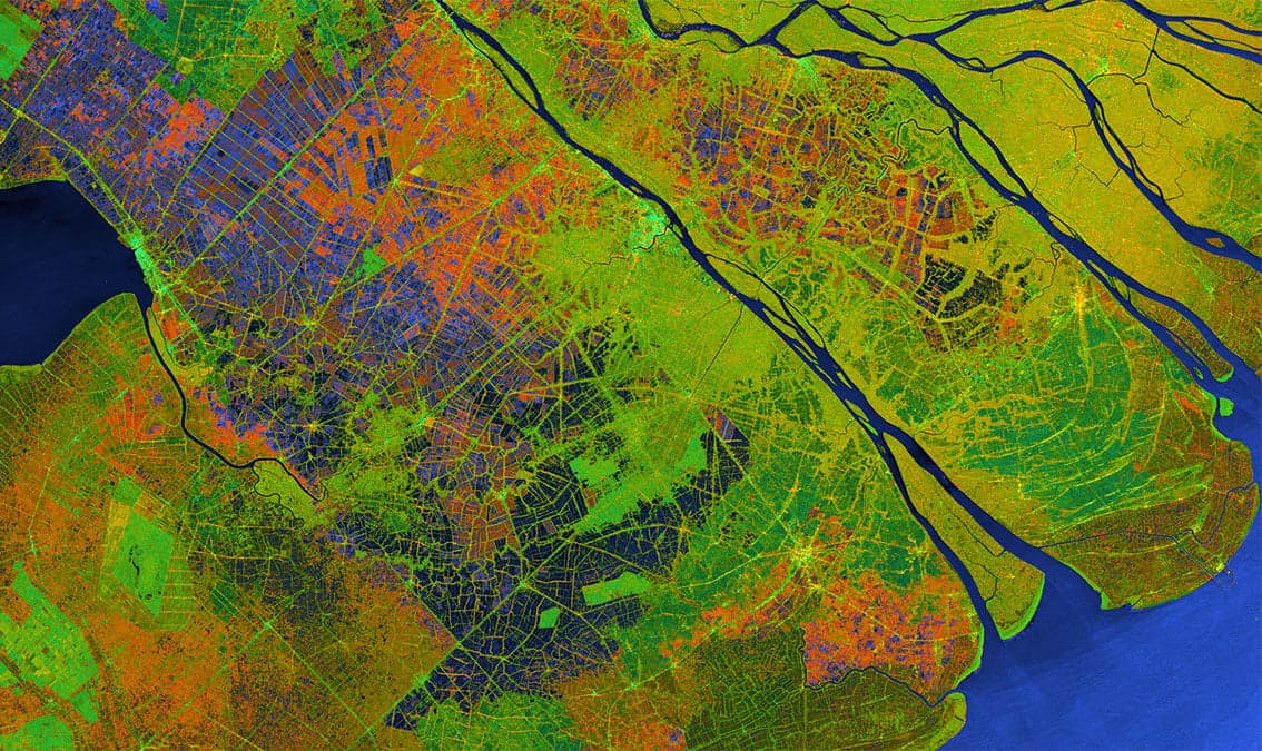
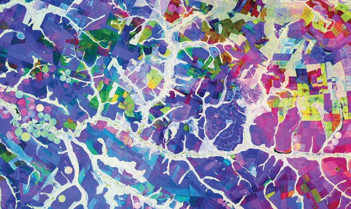
Synthetic Aperture Radar penetrates cloud and darkness to map Earth's surface and changes. This course teaches the physics—how wavelength and polarization shape what you observe—then branches into applications: detecting deformation (volcanic, seismic), mapping hazards (floods, deforestation), monitoring agriculture and forest health.
You'll gain criteria for sensor selection and learn time-series analysis to track change. The payoff: remote sensing that works in conditions optical sensors cannot, enabling environmental monitoring and early-warning systems at scale.
Gain an intuitive understanding of SAR image and phase information. ,The role of wavelength and signal polarization on SAR image content. ,Use of interferometric SAR techniques to measure cm-scale surface deformation. ,Analyze ecosystem parameters using polarimetric information. ,Pick the optimal sensor wavelength and polarization for your application. ,Use of SAR images and time series analysis to map hazards such as flooding and deforestation. ,Use of interferometric SAR techniques to measure cm-scale surface deformation related to volcanic activity and landslides. ,Use SAR data to map and monitor agriculture extent. ,Apply SAR to map and assess forest degradation activities. ,Techniques to measure above-ground forest biomass from spaceborne SAR observations. ,Properties of different SAR sensor types.
Advertisement
Not the best price we've seen. The lowest we've recorded is $618.30 on 1 Aug.
This is what we recorded in US pricing — not every price this course has ever had, and prices differ by country.