Udemy
 Udemy
UdemyPrice
No active coupon right now
View Course →No coupon right now. We'll tell you when there is one.
Mark your own learning status. Opening a course link does not establish enrollment.
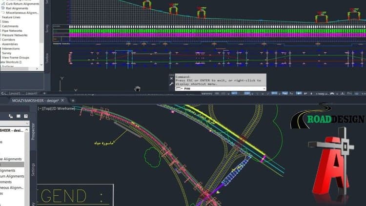
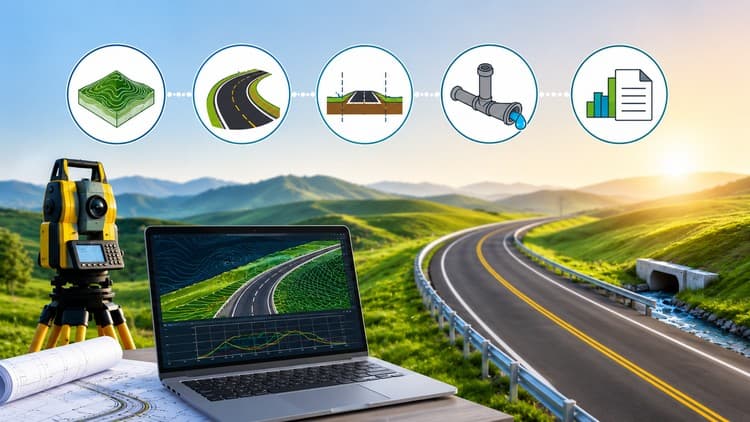
Autodesk Civil 3D is the dominant platform for transportation design, land development, drainage, and utilities. This project-based course teaches the workflow: from survey data and terrain surfaces through horizontal and vertical alignment design, corridor modeling, grading, and finally the engineering documentation that gets built.
The emphasis is on design logic, not software clicks. You'll learn to think in terms of site data, surface analysis, cut-and-fill calculations, and how a roadway assembly flows through complex terrain. Sections cover watershed and hydrologic analysis, utility networks, and the digital-twin concepts that let models stay intelligent across a project's lifecycle.
Eighteen structured modules walk through the full arc: COGO points, surface modeling, alignment design, corridors, sections, earthwork, grading, and plan production. By the end, you'll be able to take a real infrastructure project from survey to construction-ready documentation.
Autodesk Civil 3D is a leading software platform for civil engineering and infrastructure design, widely used in transportation, land development, utility networks, drainage, and earthwork modeling. This comprehensive course delivers a structured, workflow-oriented training designed to help you master Civil 3D's powerful tools within a coordinated Building Information Modeling (BIM) environment.
Through practical, project-based lessons, you will learn how to process survey data, create and edit terrain surfaces, design horizontal and vertical roadway alignments, and develop corridor models. The course covers grading plans, utility and drainage network design, watershed hydrologic analysis, earthwork computations, and the production of engineering documentation needed for real-world infrastructure projects.
The training emphasizes engineering logic and model-based design principles rather than just software commands, enabling you to understand how infrastructure projects are developed from conceptual design to construction documentation. Additionally, you will explore the integration of Digital Twin concepts, transforming Civil 3D models into intelligent engineering systems that support data interoperability, automation, and lifecycle project management.
With step-by-step guidance, this course equips you to deliver complete Civil 3D projects, applying industry-standard methodologies in a BIM-coordinated workflow aligned with professional civil engineering practice. Detailed lessons include survey data management, alignment geometry creation, corridor modeling, plan production, utility networks, and drainage analysis.
Learning Objectives
By the end of this course, you will be able to:
Create and manage survey data using COGO points and point groups.
Build, edit, analyze, and visualize terrain surfaces and raster imagery.
Design horizontal alignments and develop vertical profiles with associated views.
Construct roadway assemblies, corridors, and section views for transportation projects.
Perform cut-and-fill and earthwork volume calculations with surface editing and breaklines.
Design grading solutions using feature lines, elevation, and slope targets.
Create and document pipe networks and utility systems with profile visualizations.
Conduct watershed, drainage, and hydrologic analysis for infrastructure planning.
Generate quantity takeoff reports, mass haul diagrams, and detailed engineering documentation.
Apply BIM and Digital Twin workflows for integrated infrastructure project management.
Who Should Take This Course
Civil engineers and transportation designers
Surveyors and geomatics professionals
Land development engineers and urban planners
Drainage, utility, and infrastructure system designers
CAD technicians and Autodesk Civil 3D users seeking practical skills
BIM coordinators working on civil infrastructure projects
Students and professionals interested in hands-on infrastructure modeling
Course Structure
Section 1: Getting Started with Autodesk Civil 3D and Infrastructure Workflows
Master the Civil 3D interface, workspace navigation, and project setup for efficient infrastructure and BIM design workflows.
Section 2: COGO Points, Survey Data, and Point Management
Learn to create, style, import, and efficiently manage survey points and data groups for accurate terrain modeling and project organization.
Section 3: Terrain Surface Creation, Styling, and Editing
Create, customize, edit, and analyze terrain surfaces using advanced Civil 3D tools to enhance terrain modeling and visualization.
Section 4: Horizontal Alignments and Surface Profiles
Design and manage horizontal alignment geometry, curves, spirals, offsets, and generate surface profiles for roadway engineering.
Section 5: Vertical Profiles and Profile View Management
Create, edit, visualize, label, and present vertical profiles and profile views used in roadway design and infrastructure projects.
Section 6: Surface Editing
Apply manual and automated terrain editing and surface analysis tools to refine and interpret Civil 3D surfaces effectively.
Section 7: Assemblies, Subassemblies, and Corridor Components
Build roadway assemblies and subassemblies while configuring corridor components and section-based workflows.
Section 8: Corridor Modeling, Section Views, and Material Quantities
Create corridor models, generate section views, visualize corridor surfaces, and calculate material quantities.
Section 9: Earthwork Analysis, Breaklines, and Surface Volumes
Perform earthwork calculations, manage breaklines, compare surfaces, and analyze terrain volume conditions.
Section 10: Advanced Horizontal Alignment Design
Work with advanced alignment tools including widening, design checks, superelevation, and alignment reporting workflows.
Section 11: Advanced Vertical Profile Design and Visualization
Develop advanced profile workflows including composite profiles, profile criteria, stacked views, bands, and reports.
Section 12: Advanced Assemblies and Corridor Editing
Modify complex corridor sections, manage assemblies, and create custom subassemblies for advanced roadway modeling.
Section 13: Advanced Corridor Modeling and Linear Infrastructure
Create advanced corridor models with feature line targets, divided roads, corridor surfaces, and visualization tools.
Section 14: Advanced Cross Sections and Quantity Analysis
Generate advanced section views, analyze corridor quantities, and visualize superelevation and corridor surfaces.
Section 15: Plan Production and Sheet Layouts
Prepare templates, layouts, view frames, and plan sheets for professional Civil 3D documentation workflows.
Section 16: Grading Design and Feature Line Workflows
Design grading solutions using feature lines, slope tools, elevation targets, and surface-based grading methods.
Section 17: Intersections and Roundabout Design
Create, edit, and visualize roundabouts and intersection geometry using Civil 3D roadway design tools.
Section 18: Parcels, Sites, and Land Subdivision
Work with parcels, sites, subdivision tools, parcel labeling, and reporting workflows for land development projects.
Section 19: Pipe Networks and Utility Systems
Create and manage pipe networks, edit utility layouts, and generate profile, section, and reporting workflows.
Section 20: Watershed and Drainage Analysis
Analyze watersheds, catchments, runoff behavior, and drainage surfaces using Civil 3D hydrologic tools.
Section 21: Quantity Takeoff and Mass Haul Analysis
Prepare quantity takeoff criteria, generate section-based quantities, and create mass haul analysis diagrams.
Why Take This Course
This course stands out with its highly practical, workflow-based focus that goes beyond simply teaching software commands, offering a comprehensive understanding of engineering design processes. Civil 3D’s integration with BIM and Digital Twin methodologies equips you to work with intelligent infrastructure models that enhance collaboration, automation, and project lifecycle management.
You'll gain skills directly applicable to transportation, land development, utility design, and drainage projects, enabling you to efficiently deliver accurate models, perform advanced earthwork calculations, and produce professional construction documentation. The curriculum’s emphasis on real engineering workflows reflects practices used by infrastructure professionals worldwide.
By mastering these skills, you enhance your career potential in civil engineering, surveying, planning, and BIM coordination, making you a valuable contributor to modern infrastructure design and construction projects.
Professional Context
Autodesk Civil 3D plays a critical role in contemporary civil infrastructure engineering by connecting design, analysis, and documentation within a BIM-enabled environment. Its interoperability with tools like InfraWorks, Revit, and Autodesk Construction Cloud supports integrated project delivery from planning through asset management.
This course prepares you to work confidently in this evolving professional context, fostering competencies necessary to meet the demands of modern infrastructure projects emphasizing precision, efficiency, and collaboration across disciplines.
Advertisement
Not the best price we've seen. The lowest we've recorded is $9.99 on 17 Aug.
This is what we recorded in US pricing — not every price this course has ever had, and prices differ by country.

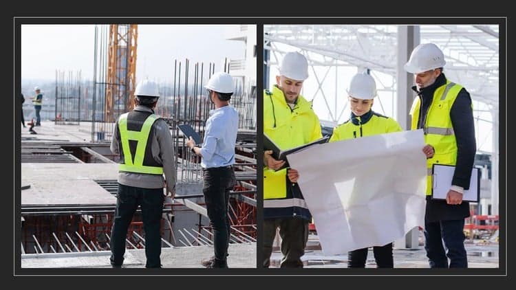
Master Construction Drawing & Structural Engineering -2 in 1
Virtual Building Design for Engineers Using Autodesk Revit