Udemy
 Udemy
UdemyPrice
No active coupon right now
View Course →No coupon right now. We'll tell you when there is one.
Mark your own learning status. Opening a course link does not establish enrollment.
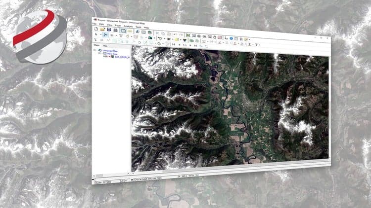
Most GIS courses are vague, expensive, and disconnected from practice. This one uses actual spatial data from Tam Dao National Park in Vietnam to teach you real analysis tasks in R and QGIS—both free software. The instructor brings practical experience in geography and ecology, so the focus stays on concepts that matter and problems you'll actually solve. Each lesson teaches a technique you can immediately apply to your own projects. The course emphasizes doing over theory, so you'll spend your time working with real spatial data rather than abstract concepts. By the end, you'll have a concrete project to show employers or use as a foundation for your own spatial analysis work.
MASTER SPATIAL DATA ANALYSIS IN R & QGIS: HANDS ON TRAINING WITH A REAL SPATIAL DATA PROJECT!
Do you find GIS & Spatial Data books & manuals too vague, expensive & not practical and looking for a course that takes you by hand, teaches you all the concepts, and get you started on a real life project?
Or perhaps you want to save time and learn how to automate some of the most common GIS tasks?
I'm very excited you found my spatial data analysis course. My course provides a foundation to carry out PRACTICAL, real-life spatial data analysis tasks in popular and FREE software frameworks.
My name is MINERVA SINGH and i am an Oxford University MPhil (Geography and Environment) graduate. I am currently pursuing a PhD at Cambridge University (Tropical Ecology and Conservation). I have several years of experience in analyzing real life spatial data from different sources and producing publications for international peer reviewed journals.
In this course, actual spatial data from the Tam Dao National Park in Vietnam will be used to give a practical hands-on experience of working with real life spatial data and understanding what kind of questions spatial data can help us answer. The underlying motivation for the course is to ensure you can put spatial data analysis into practice today. Start analyzing spatial data for your own projects, whatever your skill level and IMPRESS your potential employers with an actual example of your spatial data analysis abilities.
This is a core course in spatial data analysis, i.e. we will focus on learning the most important and widely encountered spatial data analysis tasks in both R and QGIS
It is a practical, hands-on course, i.e. we will spend a tiny amount of time dealing with some of the theoretical concepts related to spatial data analysis. However, majority of the course will focus on working with the spatial data from the Tam Dao National Park, Vietnam. After each video you will learn a new concept or technique which you may apply to your own projects.
TAKE ACTION TODAY! I will personally support you and ensure your experience with this course is a success.
Advertisement
Not the best price we've seen. The lowest we've recorded is $11.99 on 18 Aug.
This is what we recorded in US pricing — not every price this course has ever had, and prices differ by country.