Udemy
 edX
edXPrice
No active coupon right now
View Course →No coupon right now. We'll tell you when there is one.
Mark your own learning status. Opening a course link does not establish enrollment.
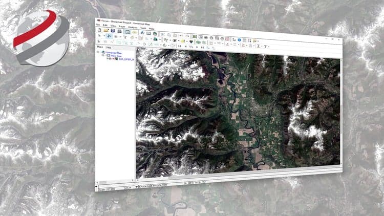
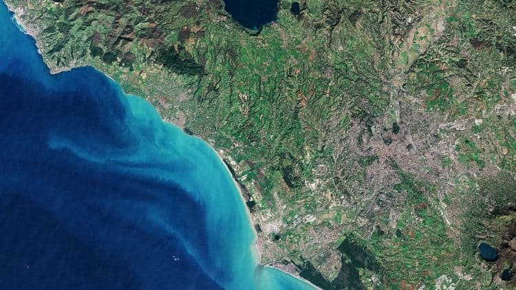
Geospatial professionals need to select the right sensors for the right questions. This beginner course systematically covers remote sensing principles—multispectral, hyperspectral, radar—then moves to practical GIS workflows: elevation analysis, GNSS data, quality assessment. The applied half focuses on real problems: detecting wildfires, mapping snow and water, identifying landslides. Advanced techniques like stereo-photogrammetry and interferometric SAR reveal terrain change over time. You'll graduate able to choose sensors, access data, and extract actionable insights for environmental monitoring.
Fundamental concepts of remote sensing, satellite imagery, and sensor properties (multispectral, hyperspectral, and radar). ,Selection of the optimal sensor and data sources for various geospatial applications. ,Practical skills in GIS, including elevation data analysis, GNSS data usage, and data quality assessment. ,Application of remote sensing for environmental monitoring, including snow/water mapping, wildfire detection, and landslide assessment. ,Advanced techniques such as stereo-photogrammetry and interferometric SAR for analyzing terrain changes and landscape dynamics.
Advertisement
Not the best price we've seen. The lowest we've recorded is $510.30 on 1 Aug.
This is what we recorded in US pricing — not every price this course has ever had, and prices differ by country.


Foundations of Environmental Science: Measuring and monitoring our planet