edX
Price
No active coupon right now
View Course →No coupon right now. We'll tell you when there is one.
Mark your own learning status. Opening a course link does not establish enrollment.
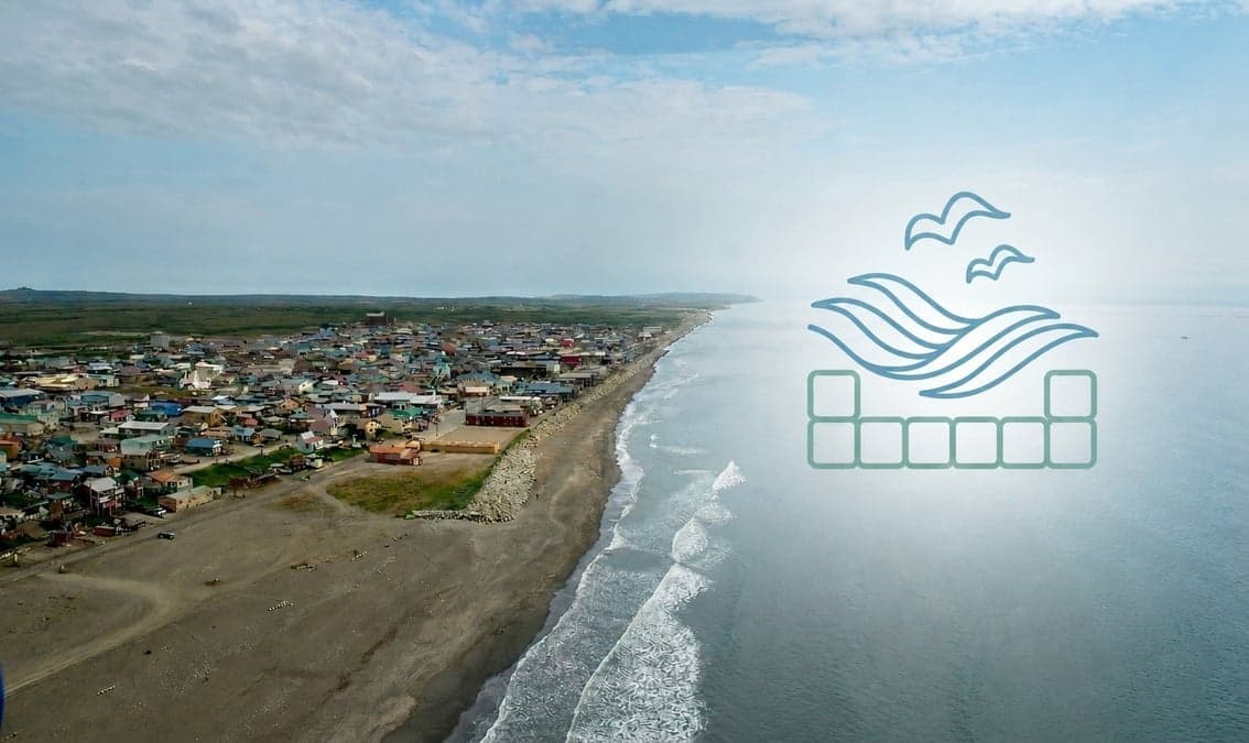
Alaska's coast is vast but understudied—this course equips you to use lidar data as a decision-making tool for coastal communities. You'll learn how topobathymetric lidar reveals shoreline evolution, flood risk, and storm surge patterns that communities need to adapt.
Topics include:
For coastal managers, scientists, and resilience professionals supporting Alaskan and vulnerable communities worldwide.
Despite possessing the largest coastline of any U.S. state, Alaska’s coastal areas remain among the least mapped, creating a critical need for advanced geospatial insights. This course offers an in-depth exploration of the dynamic intersection between coastal science, remote sensing technology, and community resilience. Students will develop a comprehensive understanding of the unique characteristics of Alaskan coastal communities, examining how fluctuating environmental conditions and shoreline evolution processes drive coastal hazards. The course highlights the critical need for effective mitigation and adaptation strategies designed to protect vulnerable coastlines and support community members in Alaska.
To address these challenges, the curriculum provides a technical foundation in topobathymetric (topobathy) lidar. Participants will gain an overview of how this specialized data is collected, processed, and analyzed, discovering why regular data collection is vital for monitoring shoreline changes over time and improving storm surge and flood modeling. By evaluating current data methodologies, students will see how topobathy lidar directly empowers local, state, tribal, and federal decision-makers in coastal management efforts, illustrating the societal benefits of accessible remote sensing technologies.
Bridging the gap between data and action, the course equips students with strategies to effectively illustrate and communicate topobathy datasets to the public. The curriculum addresses the value of community engagement, exploring the importance of integrating local knowledge into the use of topobathy lidar and its applications. By understanding this data, public community members are better equipped to grasp and adapt to the complexities surrounding their shorelines, leading to more-informed decision-making.
Advertisement
This is what we recorded in US pricing — not every price this course has ever had, and prices differ by country.

The Resilient and Renewable Grid: How Microgrids are Revolutionizing Energy Systems
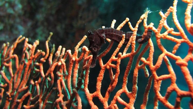
iSeahorse Trends: Finding & monitoring seahorse populations